Hyphenated
“But where in New York can one find a woman with grace, elegance, taste and culture…a woman suitable for a king?”
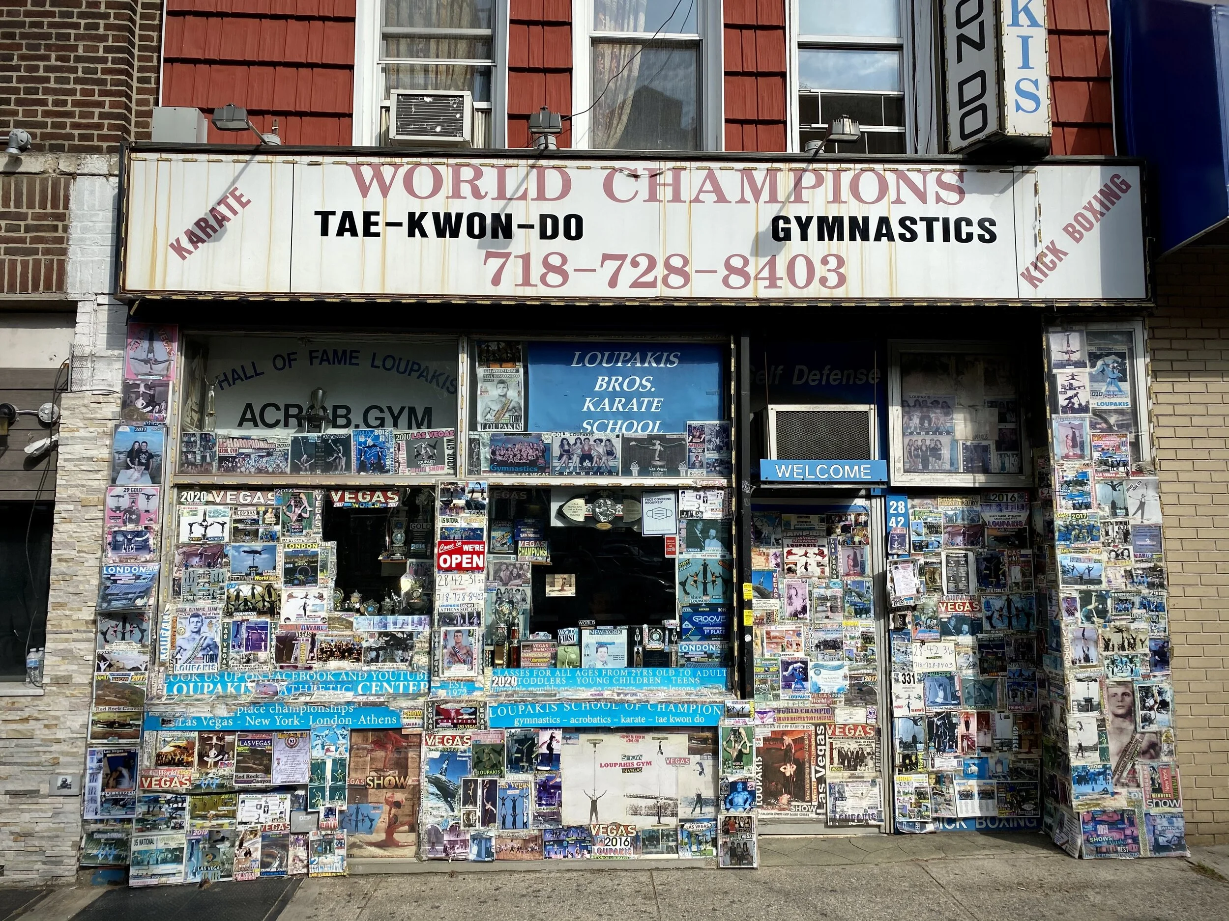
In Queens, the address for Public School 153 is 60-02 60th Lane. The school sits at the corner of 60th Lane and 60th Road. To its north—another cross street—is 60th Avenue. Across the street, 60th Place. Behind the school is 60th Street. One block south is 60th Drive. And one and a half blocks south, you guessed it, is 60th Court. “Holy shoot!” as my friend Damarys would say. Things get tricky very quickly in this borough.
I had always thought that the address for McDowell’s burger joint in Coming to America was 8507 Queens Blvd. In fact, its address is, or would be, 85-07 Queens Blvd. The idea, in short (I won’t keep you waiting), is that Queens hyphenates its addresses to indicate the closest cross street in the first two numbers. The second set of numbers indicate the building number. (By the way, if you go to Google Maps and click on 85-07 Queens Blvd, you will in fact see images of McDowell’s that two separate users have posted—one from Japan and one from Germany no less.)
Queens, when it was just a county and not a borough (previous to the consolidation of New York City on January 1, 1898), had consisted of Long Island City, Newtown, Flushing, Jamaica, North Hempstead, Hempstead, and Oyster Bay. Each township and its self-contained communities—with wonderful names like Payntarville, Union Ville, and Middle Village—had street names like Sylvester, Warren, Lincoln, Washington, Higgins, Clinton, Washington, Taylor, Prince, Washington, Lawrence…Washington. You get the picture. Redundancy of street names after the consolidation had become a problem.
In 1911, twelve years after the consolidation, Charles Underhill Powell, former chief engineer of the Queens Topographical Bureau, set out to rename the streets to eliminate confusion. Luckily for Powell, one year after the consolidation in 1899, 70% of the eastern part of Queens—comprising North Hempstead, Hempstead, and Oyster Bay—formally withdrew and established themselves as Nassau County, which in essence, would make his task 70% easier.
Powell created a grid system just like its neighbor Manhattan. However, the poor bastard didn’t know what he was up against. Manhattan, nearly 23 square miles and rectangular, is nothing but perfect for a grid. Queens, on the other hand, is nearly 109 square miles and shaped like a diaper with a load in it.
Grids require numbered streets or some logical sequence, letters if you like, and that’s just what Powell did. Except, using his own logic, he went in the reverse direction of Manhattan: avenues—instead of north and south—would go east and west, and streets, would run north and south. He even wrote a jingle so Queens residents, and tourists like me, would know how to get around:
In Queens, to find locations best
Avenues, roads and drives run west;
But ways to north or south ’tis plain
Are street or place or even lane.
As the city grew and more streets were added, the logic (or his logic) followed that, from north to south between an avenue, you would get Road, Drive, and Court of the same number before the next avenue. And from west to east between streets, you would have Place and Lane.
There are of course a number of streets, most of which are eponymous, that have remained intact like Steinway, Vernon, and Van Wyck. And there are others, like Sanford Avenue, that run through Flushing where Charles Underhill Powell died in 1956.
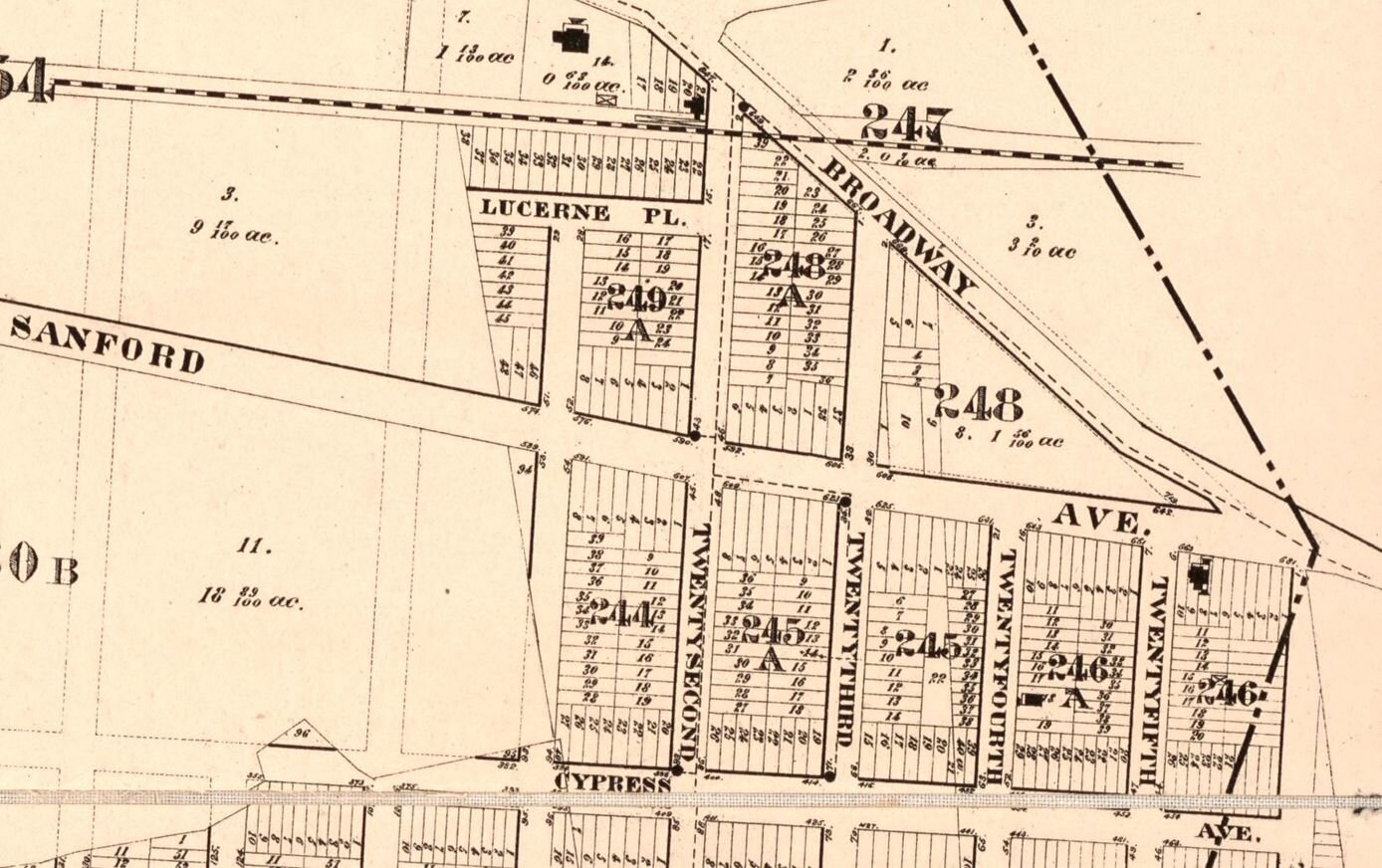
The address where he lived was 42-23 165th Street Flushing, NY 11358. Had he passed away 46 years earlier before he renamed—or renumbered I should say—all of the streets, he would have died at block 246, building 11, Twenty-fifth Street at the corner of Sanford Avenue and Broadway. I’m entirely unsure of how they would have written that. Perhaps he only would have been listed on a consummate hand-drawn map with householders' names instead of streets written in impeccable lettering next to one J. Vanderverge, CM Bergen, or a Mrs. Leverich.
In either case, while it would have been after his time, I like to imagine Powell kickin’ it at a McDowell’s under the Golden Arcs, Big Mick in hand, daydreaming—a bit menacingly perhaps—of his hyphenated mess that would terrorize Queensters in perpetuity.
Citations
Roullier, G. A. & Welcke, R. A. (1894) Map of the village of Flushing, Queens County, New York. Flushing, N.Y.: G.A. Roullier. [Map] Retrieved from the Library of Congress, https://www.loc.gov/item/2004625793/.
Browne, W. I. (1896) Map of the town of Newtown, Queens Co., N.Y. [New York?: s.n] [Map] Retrieved from the Library of Congress, https://www.loc.gov/item/2004627122/.
Dripps, M. (1874) Map of Long Island City, Queens Co. N.Y.: showing farm lines &c. &c.: reduced from Commissioners new city map. [N.Y. i.e. New York: M. Dripps] [Map] Retrieved from the Library of Congress, https://www.loc.gov/item/2003630668/.
Dripps, M. & Dripps, M. (1876) Map of the village of Jamaica, Queens County, N.Y.: showing every lot and building. [N.Y. i.e. New York: M. Dripps] [Map] Retrieved from the Library of Congress, https://www.loc.gov/item/2003630661/.
Sheidlower, Noah, et al. “Cities 101: How to Navigate Queens' Street Grid.” Untapped New York, 3 Apr. 2014, untappedcities.com/2014/04/03/cities-101-how-to-navigate-queens-street-grid/.
”Why Are Queens Addresses Hyphenated?: StreetEasy.” StreetEasy Blog. (2019, December 12). https://streeteasy.com/blog/queens-addresses-hyphenated-confusing-street-names/#:~:text=The%20two%20numbers%20before%20the,of%20the%20building%20or%20house.
Frederick, Shiloh. “Why Are the Mean Streets of Queens Numbered the Way They Are?” 6sqft, 17 July 2015, www.6sqft.com/trying-to-make-sense-of-the-mean-streets-of-queens/.

